
Balloon Navigator
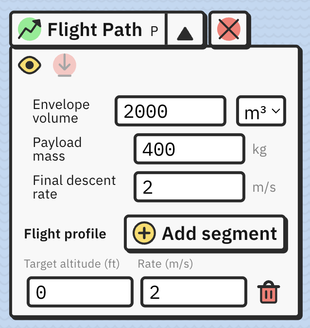
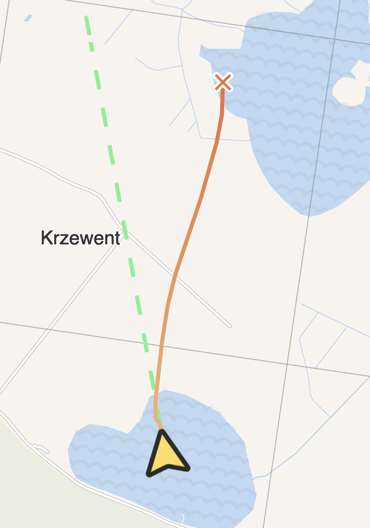
Flight Path draws a line showing where you will reach ground with current winds and set descent rate. Open Flight Path panel with P.
Envelope size and payload are used to calculate balloon inertia when crossing wind layers (bigger and heavier balloons react slower to wind changes). You can use constant descent rate calculation by entering “Final descent rate” or do more advanced simulation where you can set different descent speeds for different altitude segments.
Yellow eye button enables drawing Flight Path on the map. Use red down arrow button to freeze drawn line in place. To remove existing flight path from the map, right click on it and select “Remove flight path” in context menu.
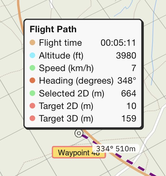
When hovered over, flight path will show small popup with following data:
Flight Path will assume ground at 0 AMSL if no elevation data is available on the map. You need Pro subscription to get full accuracy of simulation.